
Tromsø Explained: A Local’s Guide to Places, Areas, and Names 🧭
Tromsøya? Tromsdalen? Kvaløya? Sommarøy? Ersfjordbotn? Tromvika? Håkøya? Straumsbukta? Prostneset? Telegrafbukta?
If you’re planning a trip to Tromsø and feeling overwhelmed by all the place names — don’t worry! You’re not alone. Here’s a simple guide to help you understand the geography of Norway’s Arctic capital before you arrive.
🌆 Tromsø – The City and the Municipality
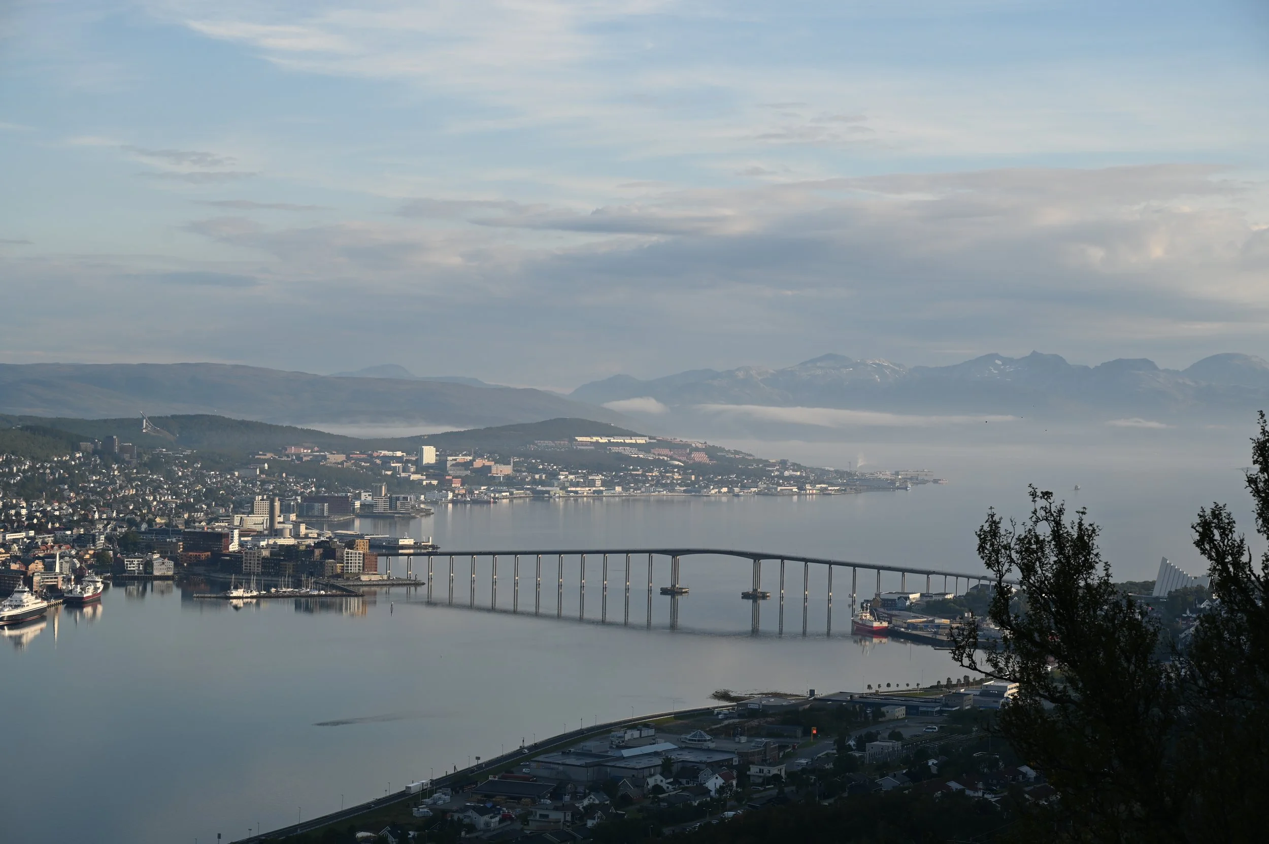
Tromsø is both the name of the municipality and the main city centre, which is located on the island of Tromsøya. This island is connected by two bridges — one to the mainland (Tromsdalen) in the east, and one to the larger island of Kvaløya in the west.
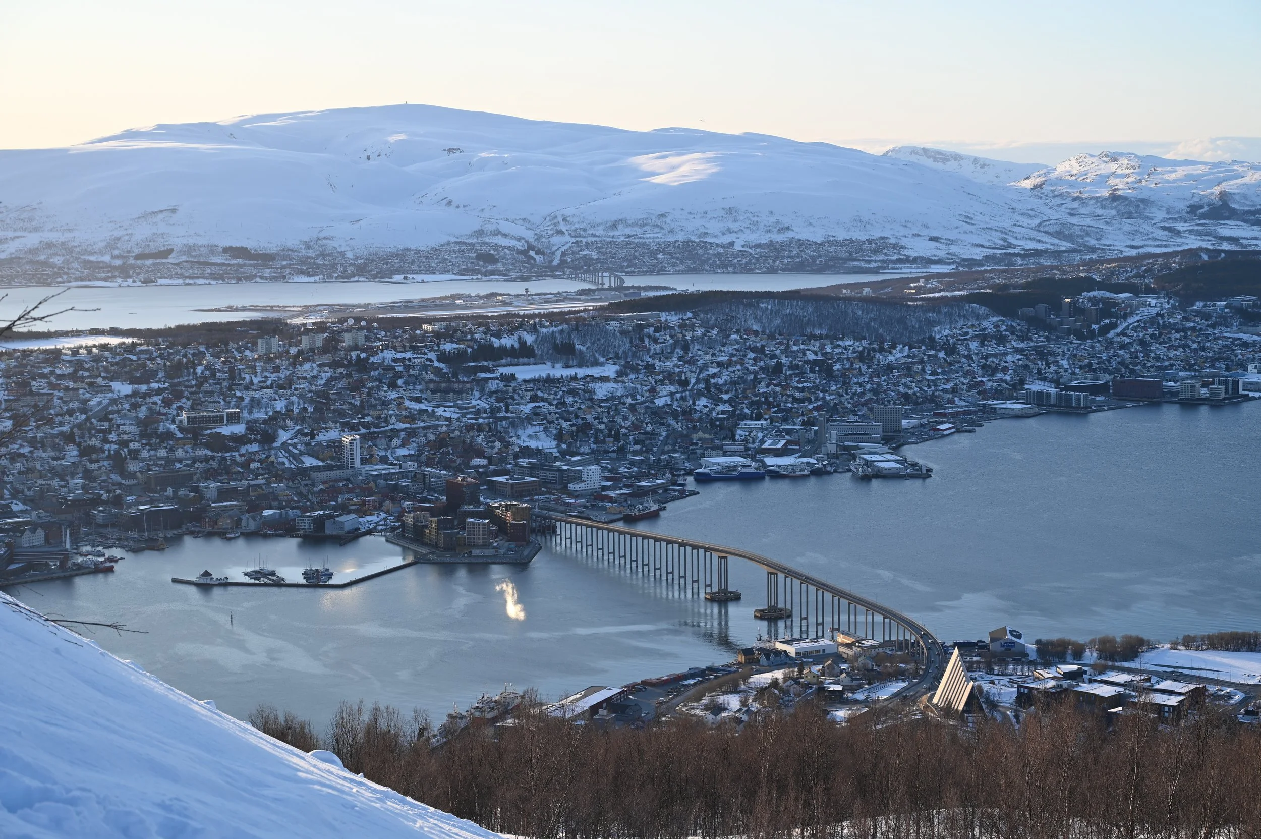
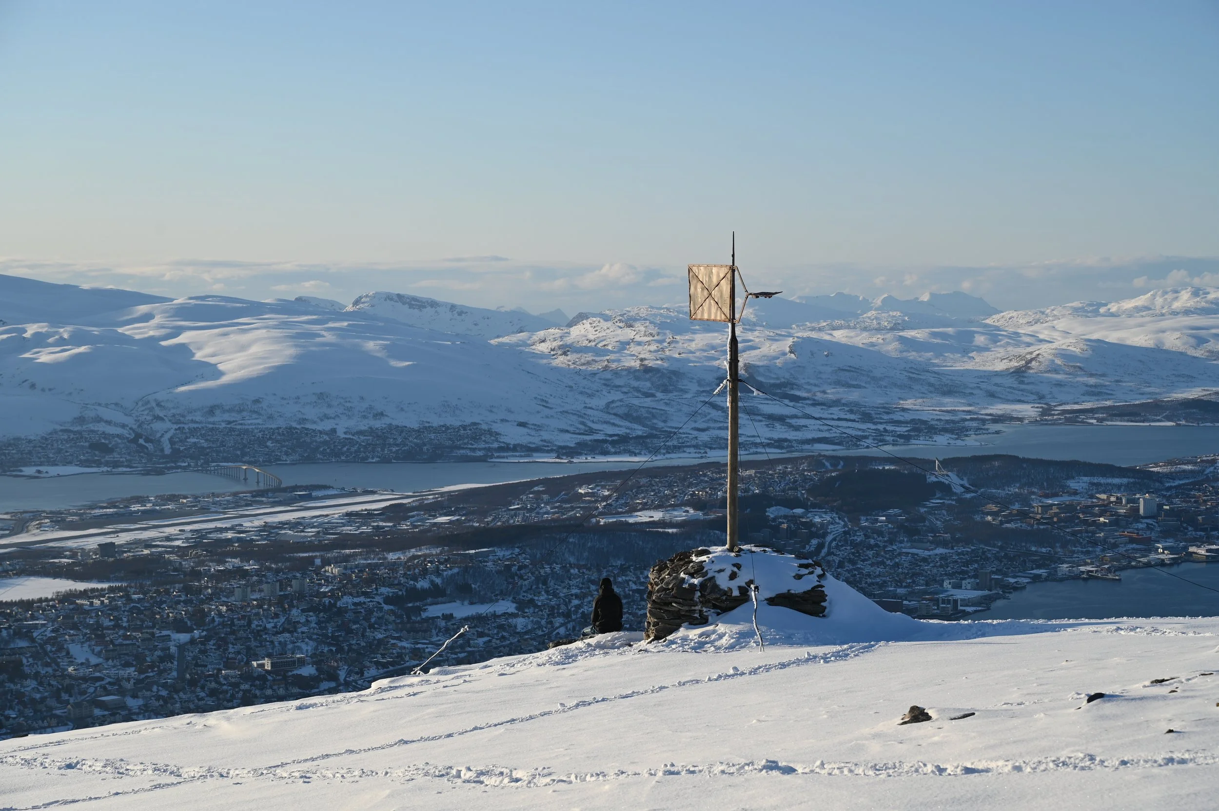
A magnificent view from fjellheisen located on the mainland, watching over to Tromsøya and with Kvaløya across the next bridge in the distance.
🏙️ Tromsøya – The Heart of the City
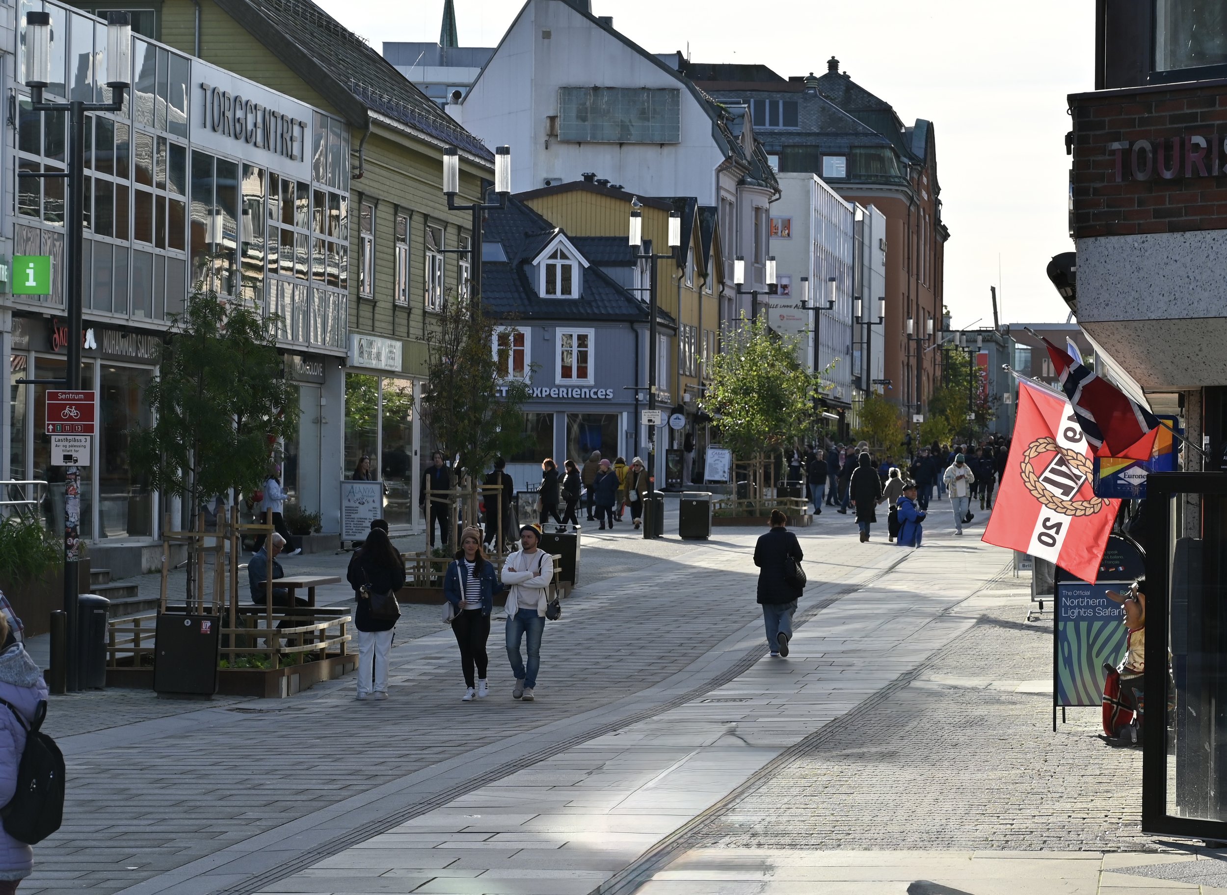
Centre of Tromsø.
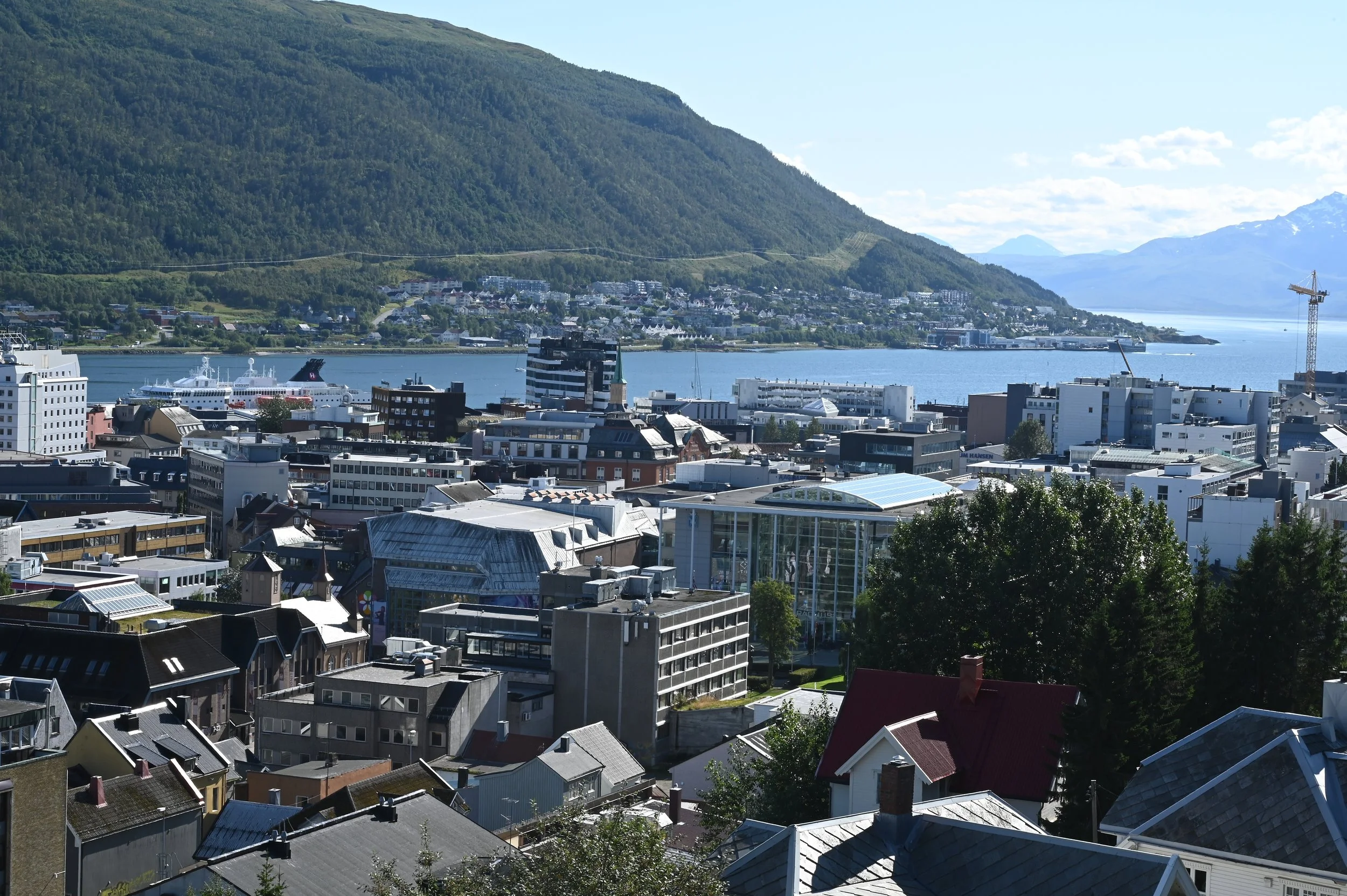
The Tromsø skyline.
Tromsøya is the beating heart of the Arctic capital. This is where you’ll find the city centre, the airport, and almost all the hotels, as well as many of Tromsø’s most popular attractions — all within walking distance.
Prostneset: The main hub for regional transport, including boats and buses to Skjervøy, Narvik, Harstad, and Sommarøy. (Note: local city buses don’t depart from Prostneset — you’ll find them at bus stops along the city streets instead.)
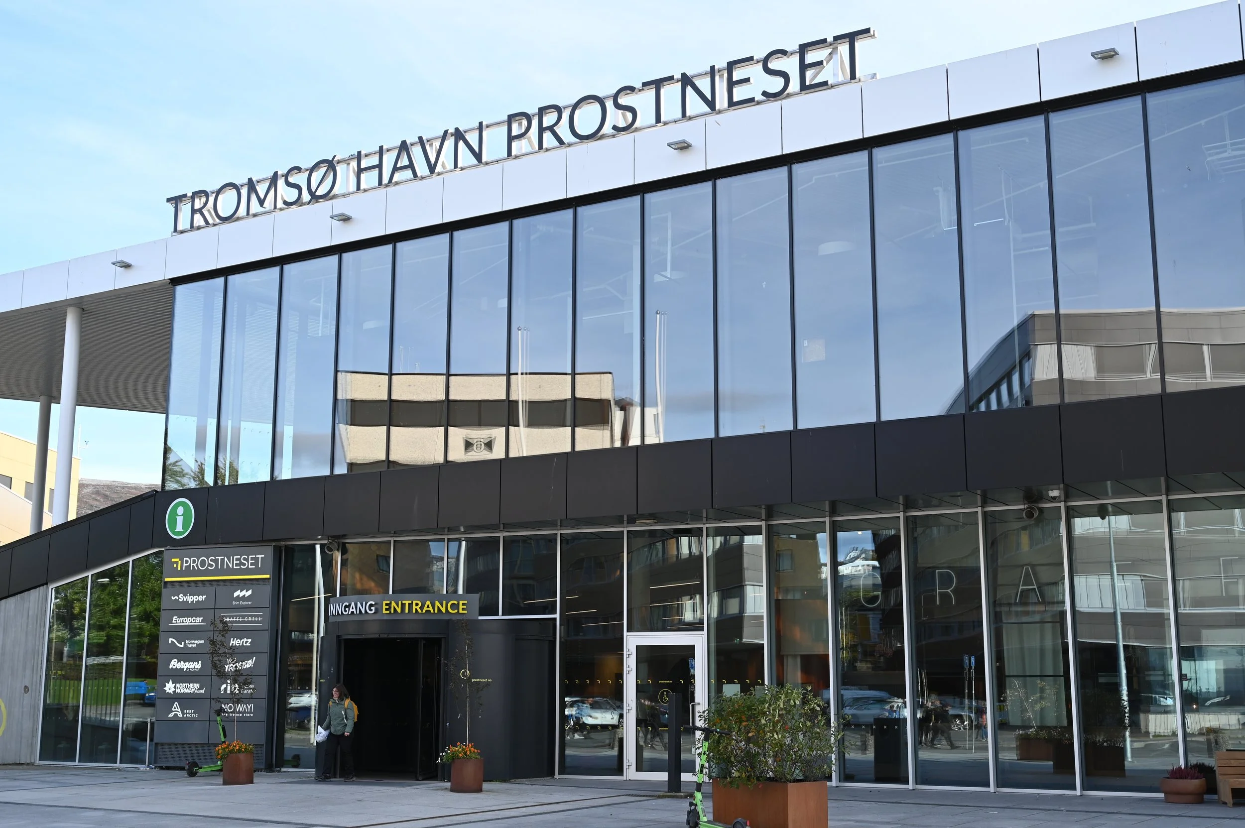
Prostneset havneterminal - The main hub for regional transport in Tromsø.
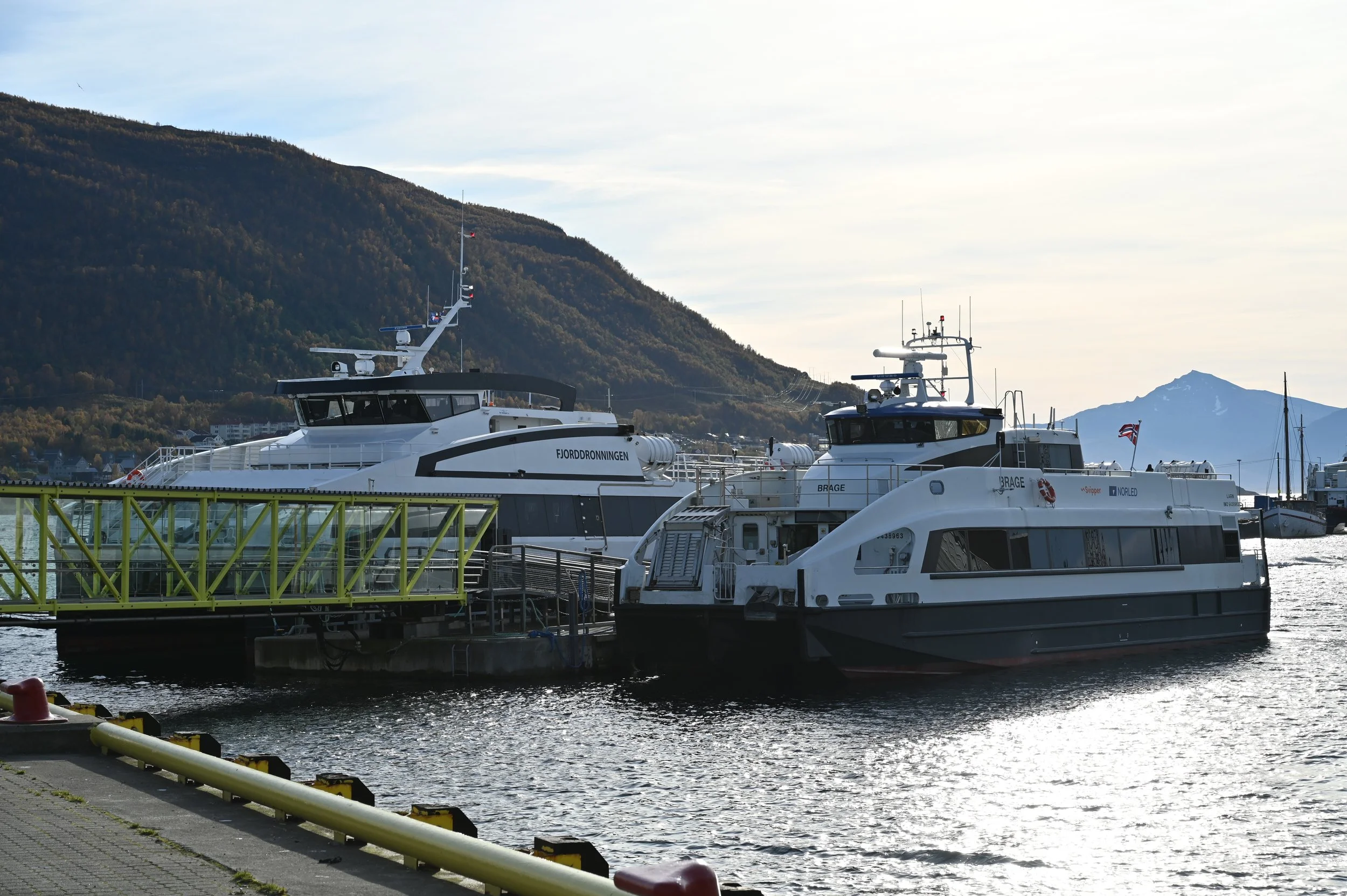
You can take an express boat to different parts of the county from Prostneset havn.
Telegrafbukta (“Bukta”): A beautiful seaside park at the southern tip of the island — perfect for picnics, sunsets, and northern lights watching. Locals love it as a year-round spot for walking, swimming, and even winter bonfires. It’s also the final stop of our Arctic Promenade Walk — a guided city-to-nature journey that takes you from Tromsø’s historic harbourfront through coastal trails and stories of polar exploration, ending right here by the sea.
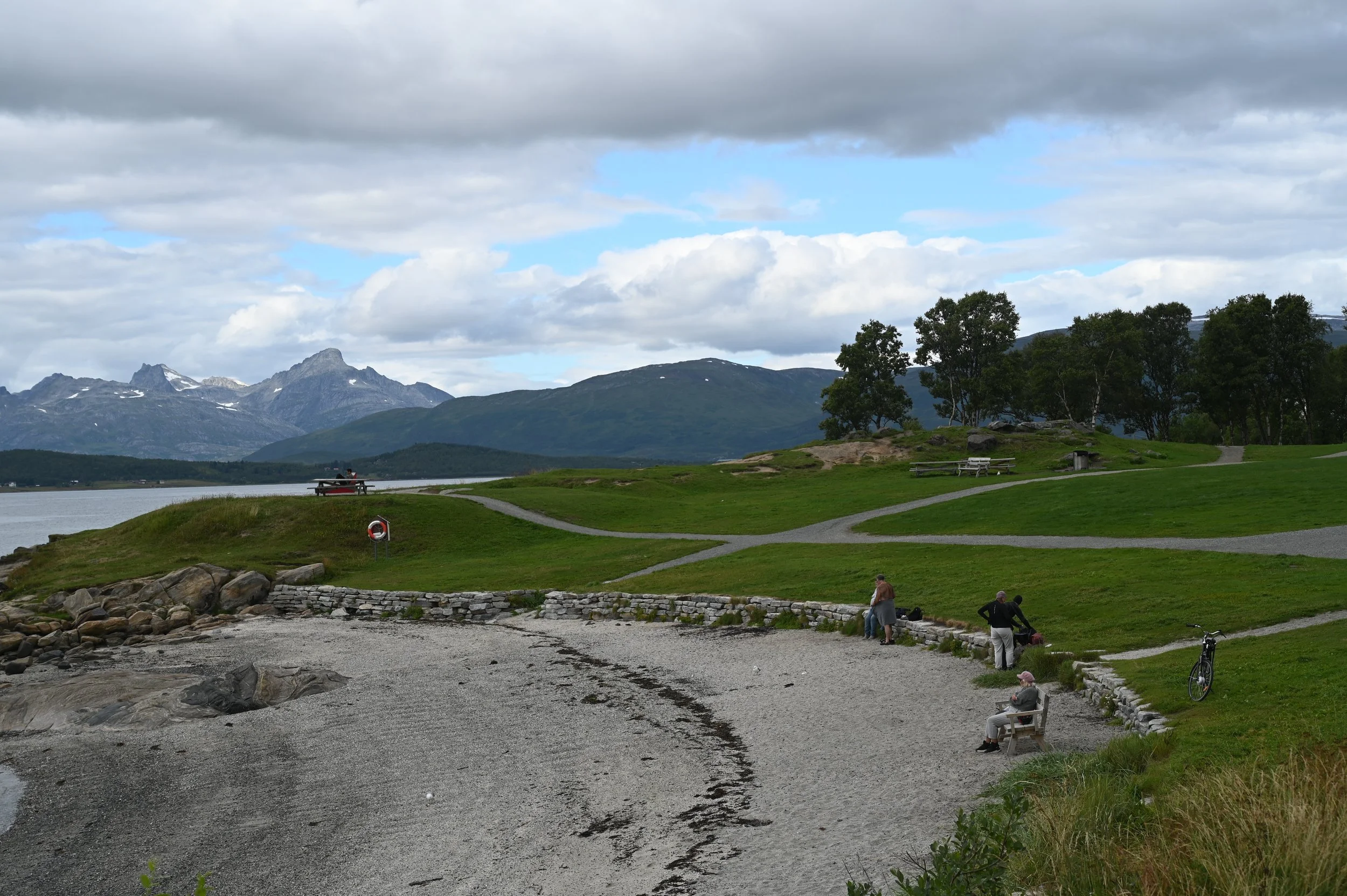
Telegrafbukta.
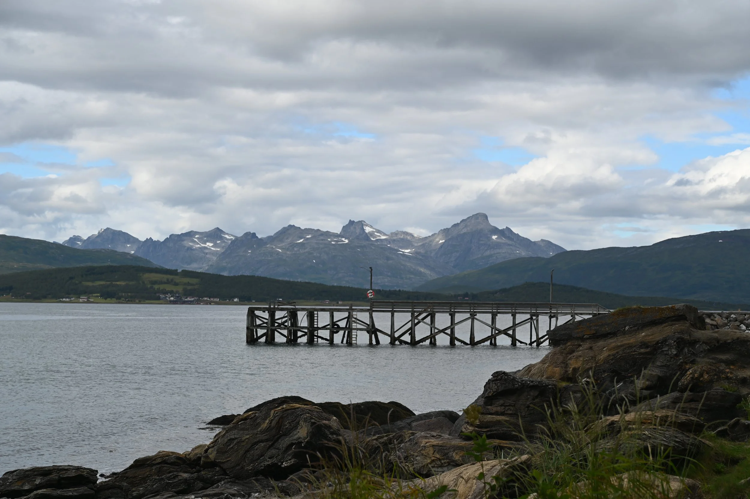
Iconic view of the pier in Telegrafbukta with the mountains of Kvaløya in the background.
Jekta Shopping Centre: Tromsø’s largest mall, located near Giæverbukta, the main bus interchange for local routes. Nearly all city buses stop here, making it a useful landmark.
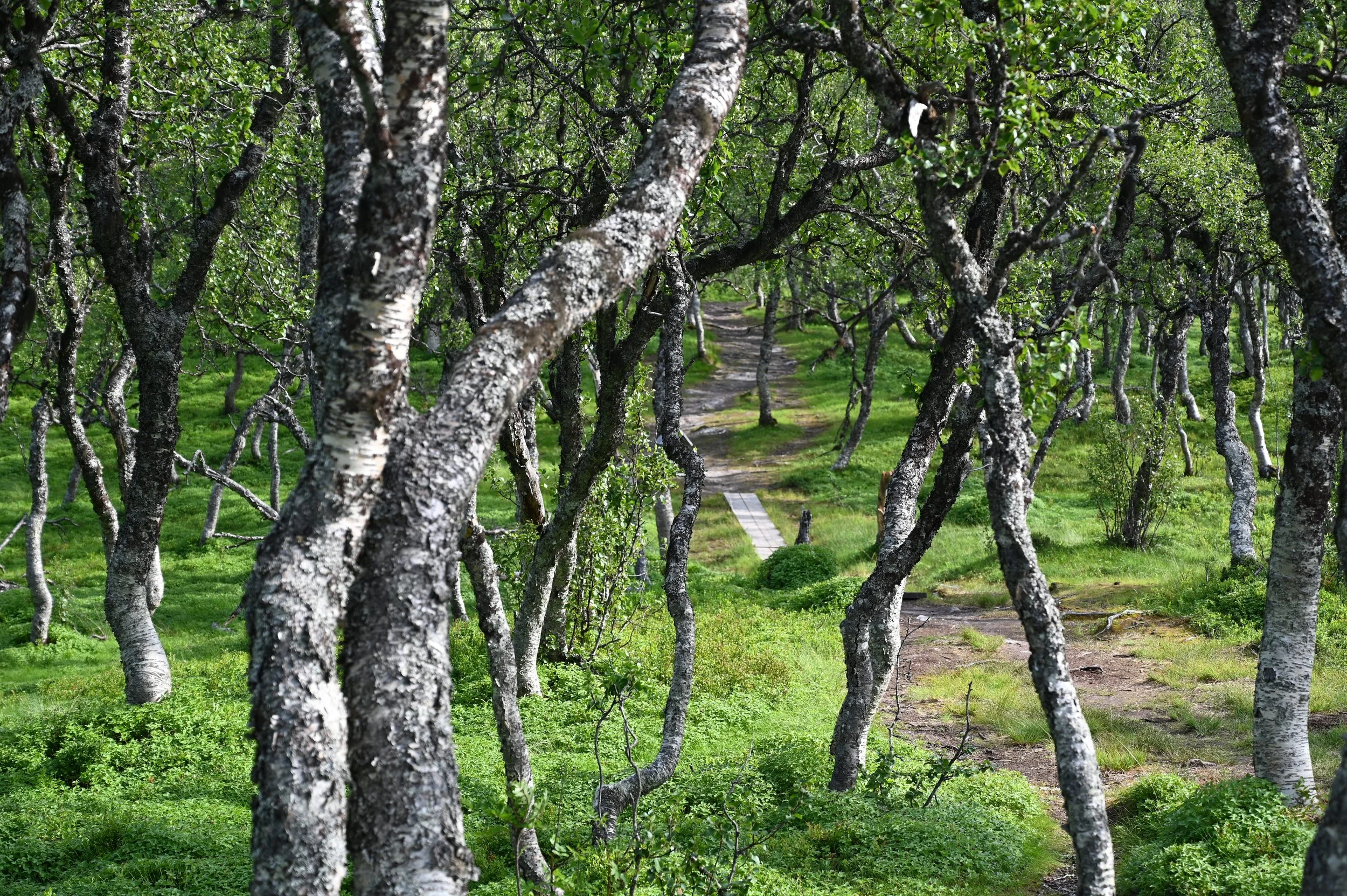
Prestvannet & the Trail Network: At the highest point of Tromsøya lies Prestvannet, a scenic lake surrounded by walking paths, birdlife, and panoramic views. From here, a network of well-maintained trails — known locally as the “lysløype” — crosses the island from south to north. In summer, it’s ideal for hiking or running; in winter, it transforms into a cross-country ski trail, a favourite pastime in a country where, as the saying goes, “Norwegians are born with skis on their feet.”
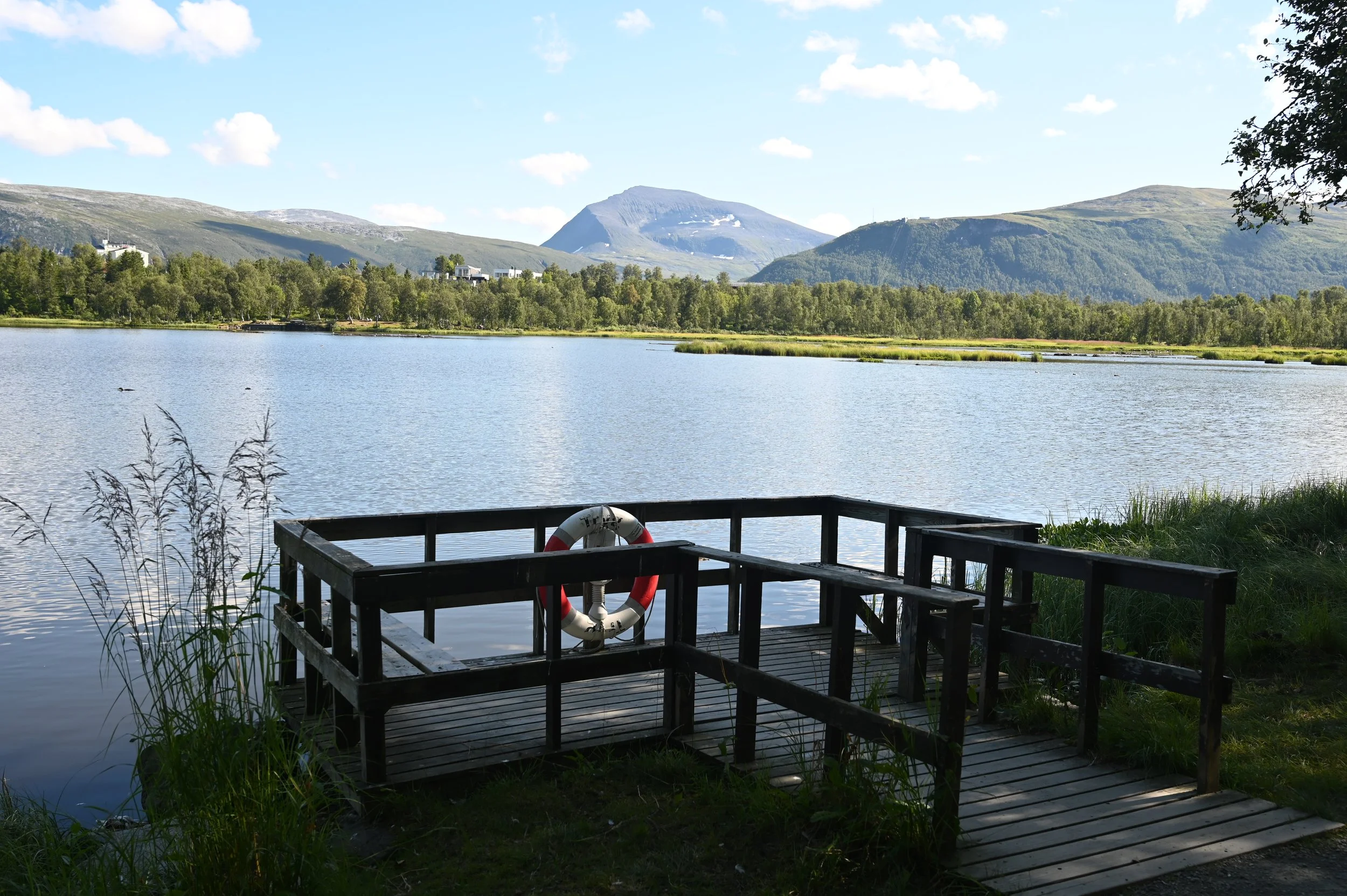
Prestvannet with a view to fjellheisen and Tromsdalstind (1238 meters tall).
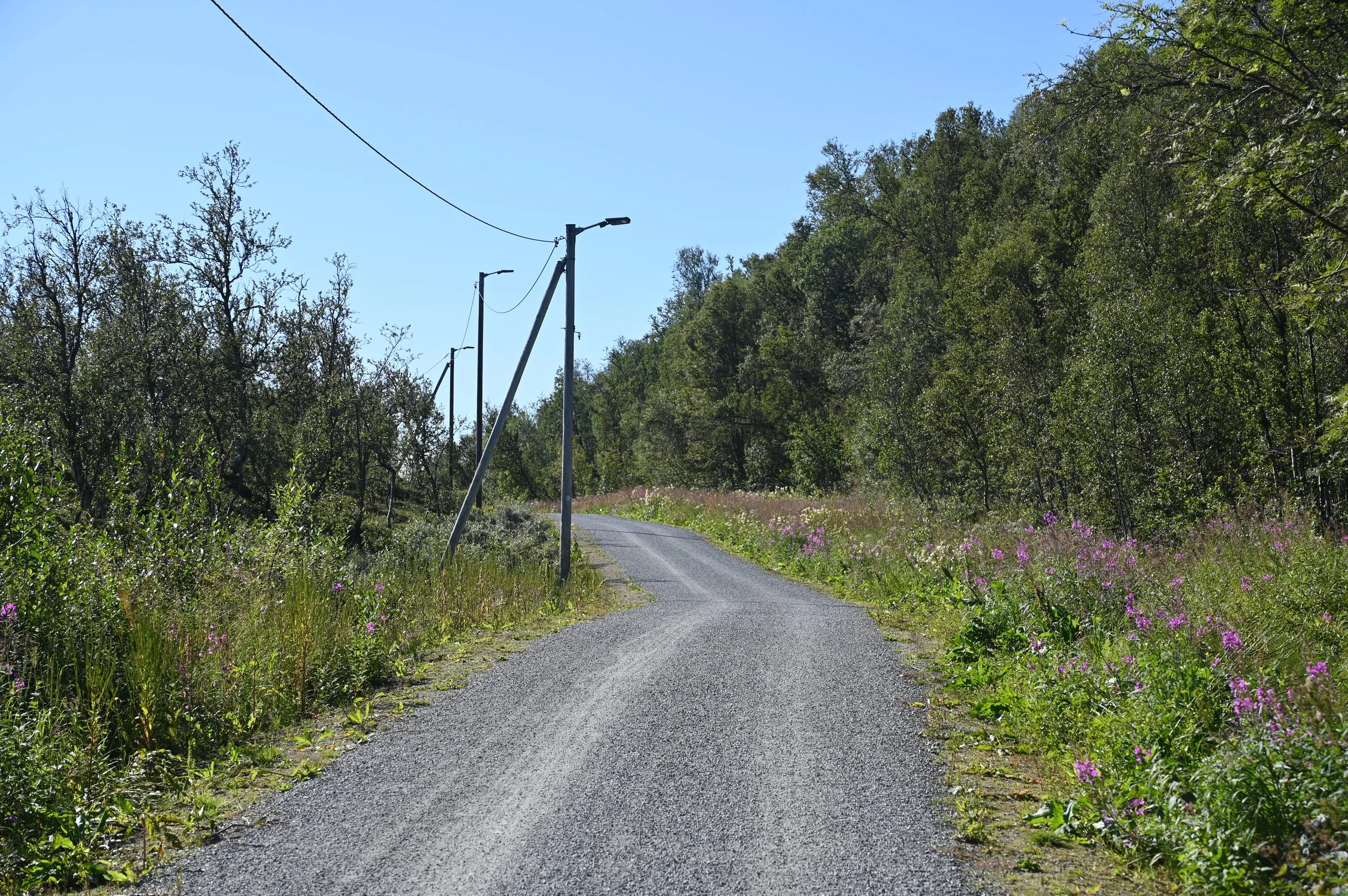
Lysløypa - The Light Course in Tromsø
If you’d like to explore these trails with a local guide — whether on foot, on skis, or as part of an active running adventure — check out our Run & Relax Private Tour.
🏔️ Tromsdalen – The Mainland Gateway
The iconic Tromsø Bridge connects Tromsøya with Tromsdalen, a district on the mainland.
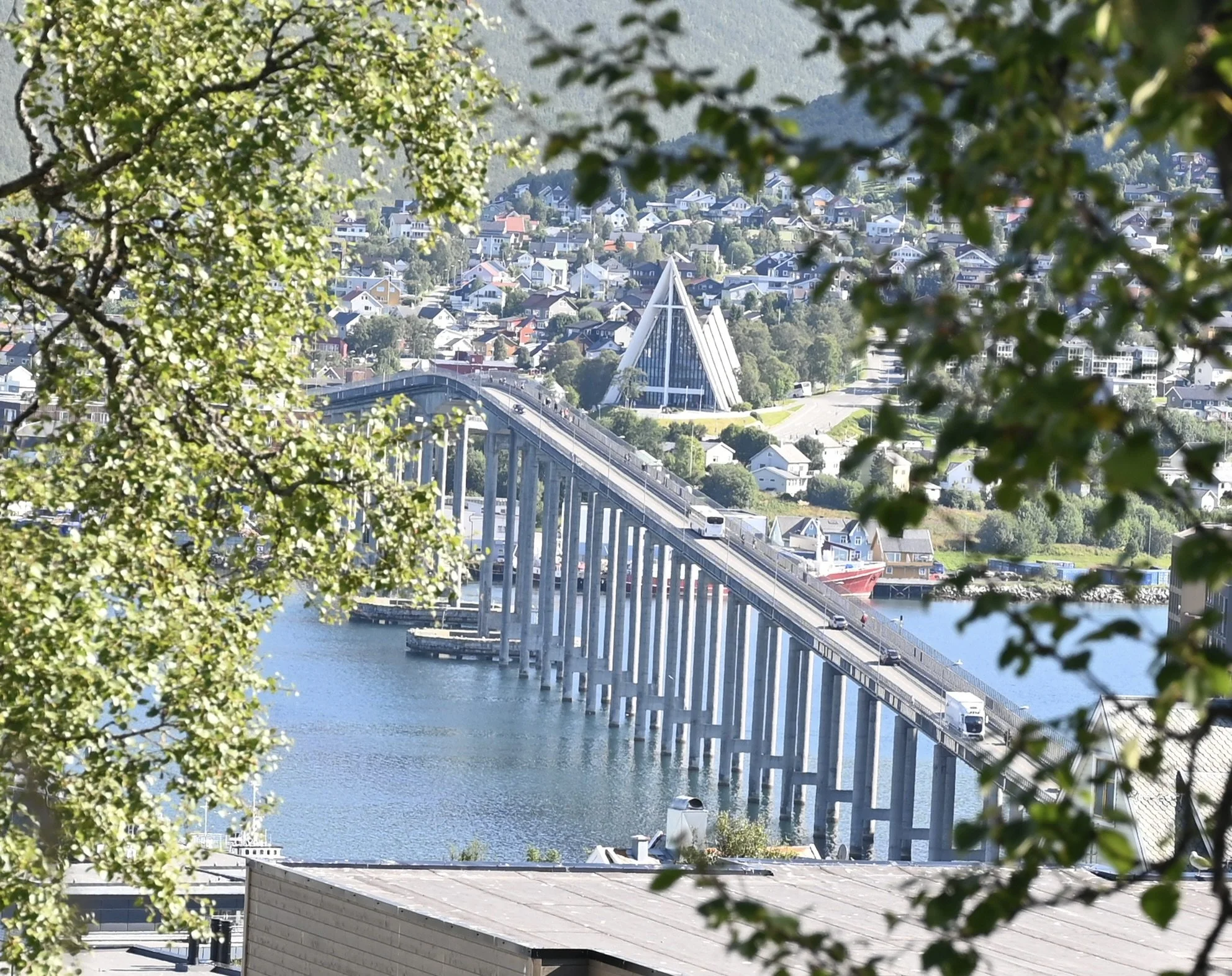
Tromsø bridge with ishavskatedralen (the Arctic Cathedral) in the background.
This is where you’ll find two of Tromsø’s most famous landmarks:
The Arctic Cathedral (Ishavskatedralen): A striking architectural masterpiece and one of Tromsø’s most photographed sights. You can walk across the bridge (note: the pedestrian path is only on one side) or take bus routes 20, 24, 26, or 28.
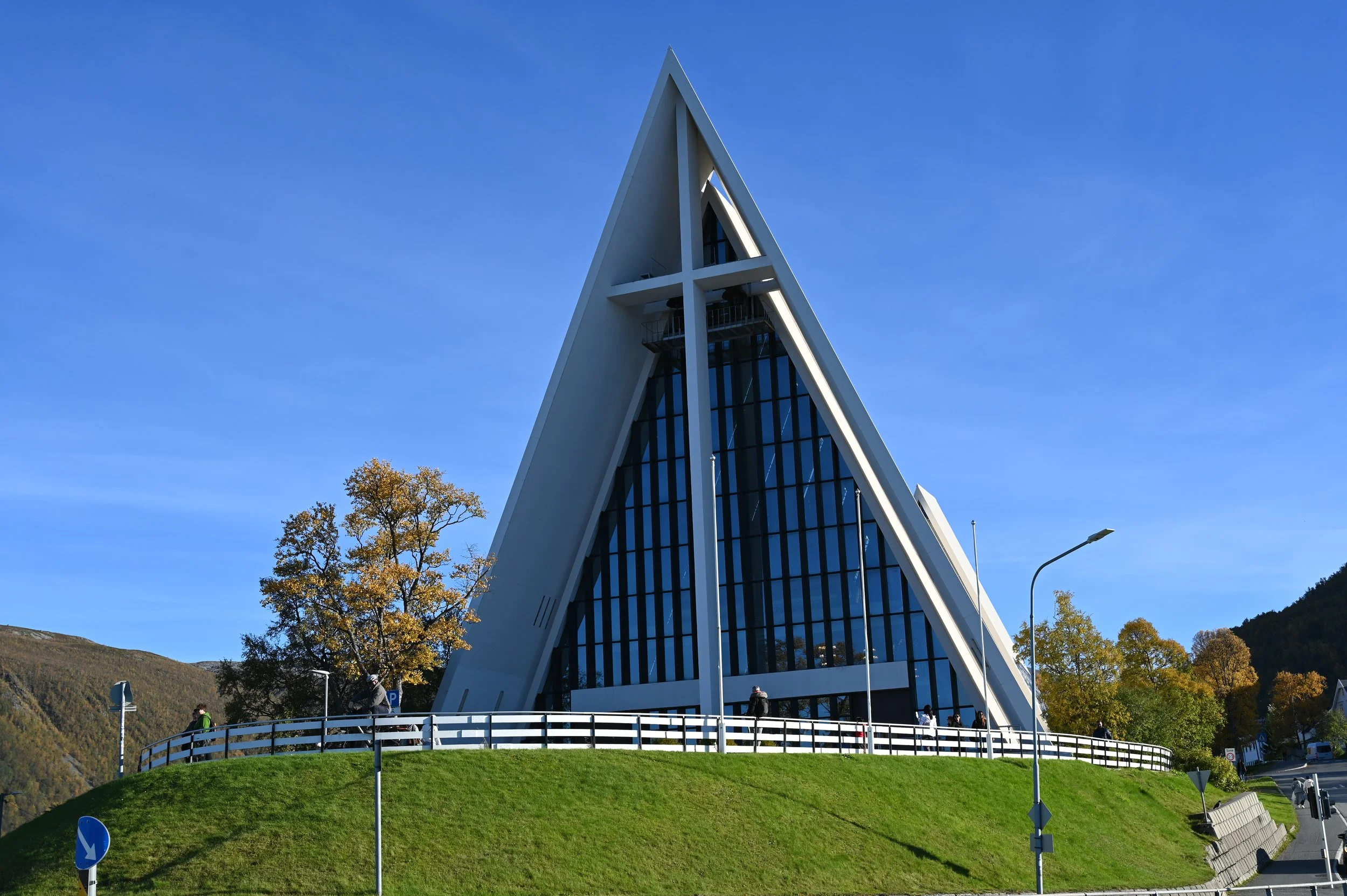
Ishavskatedralen - The Arctic Cathedral
Fjellheisen Cable Car: Ride the cable car for panoramic views of the city and surrounding fjords. You can also hike up the Sherpatrappa stairs or continue to Mount Fløya for an even better view.
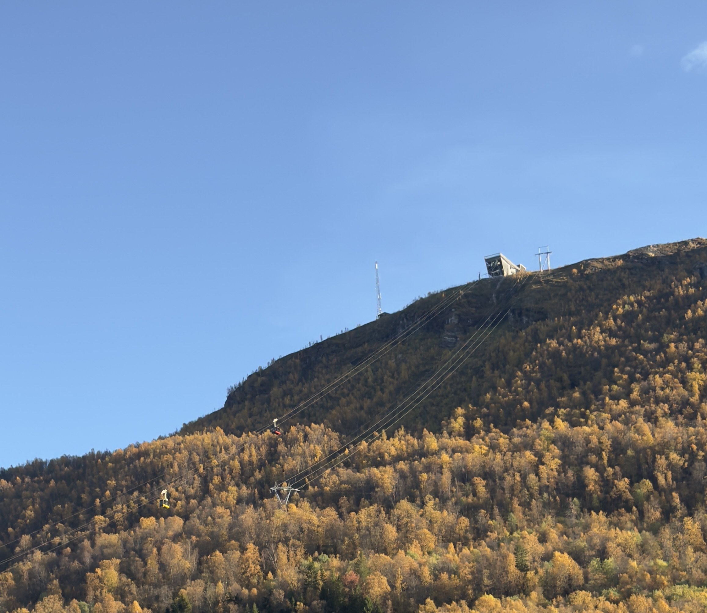
Fjellheisen.
Amazing view from Fløya!
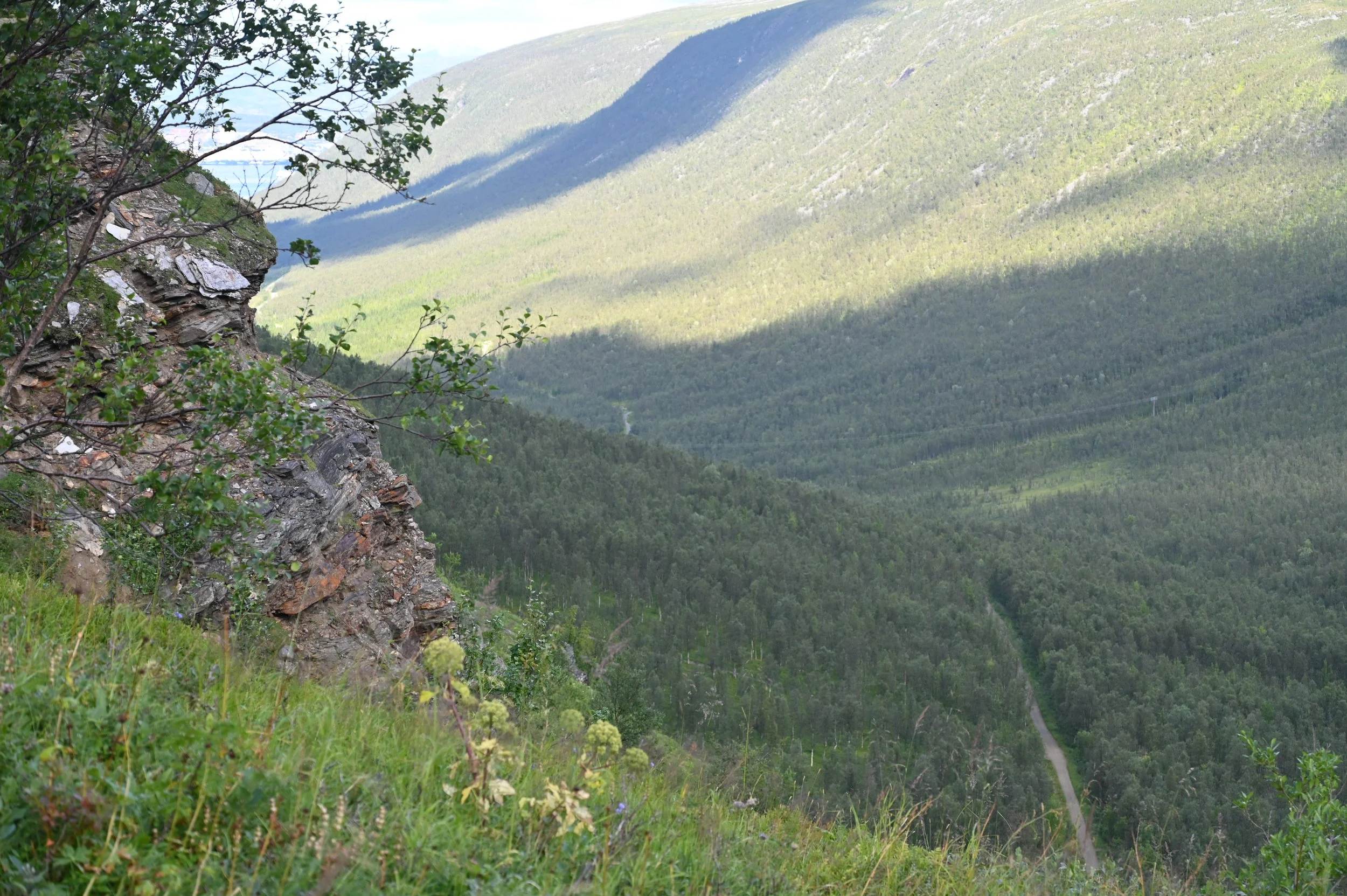
Tromsdalen offers a beautiful landscape and great opportunities for hikes.
Just below the cable car station you’ll find Pyramiden Shopping Centre, with a well-stocked sports store, pharmacy, Vinmonopol (state liquor store), and grocery shop.
🏞️ Kvaløya – Nature, Villages, and Arctic Adventure
Look west from Tromsøya and you’ll see Kvaløya (“Whale Island”) — a larger island connected by bridge. It’s mostly residential but also home to some of the best outdoor experiences near Tromsø.
Some of the mountains located on Kvaløya. This is from “Buren” with Ersfjorden on the left side.
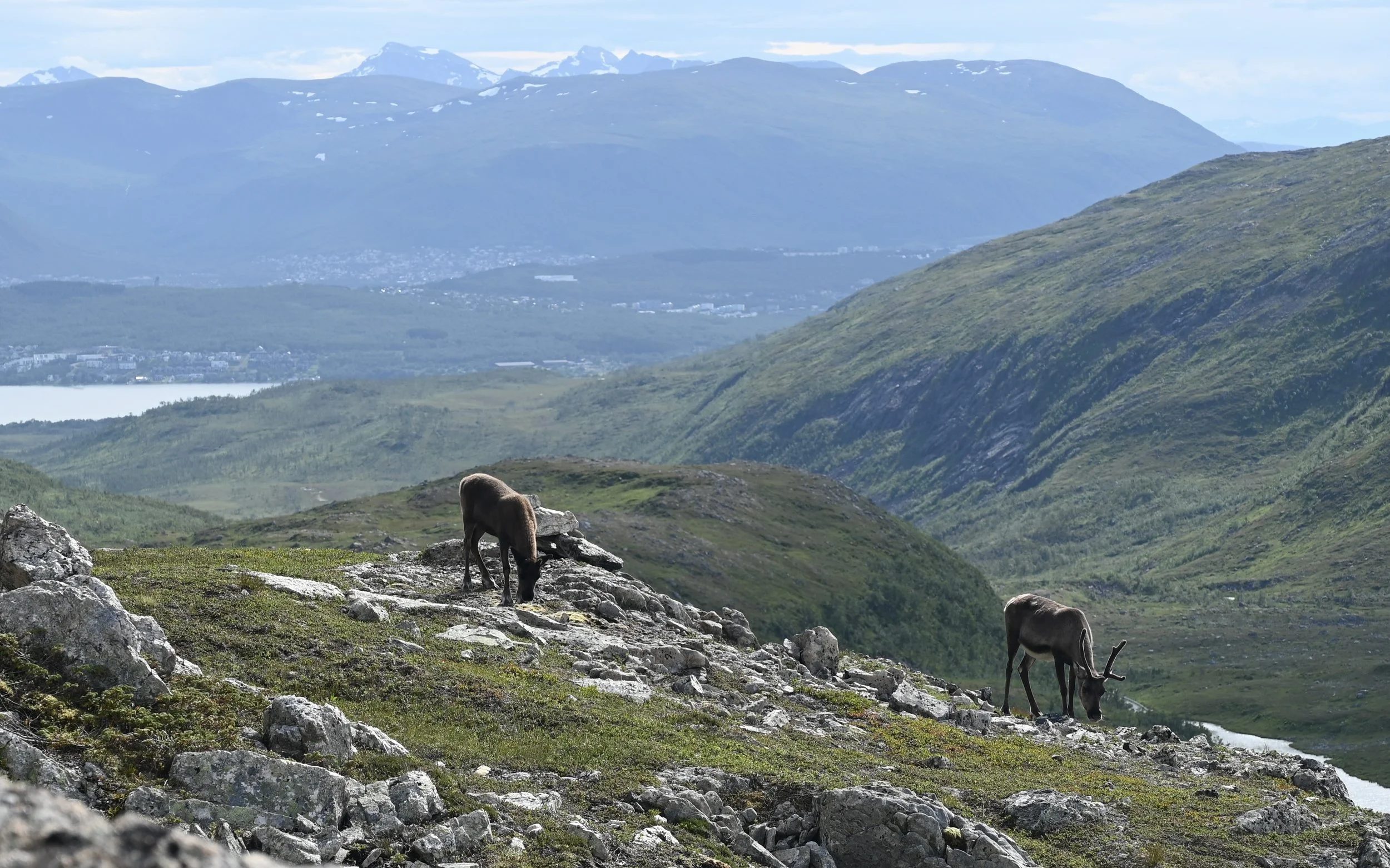
Reindeers in the mountainside on Kvaløya.
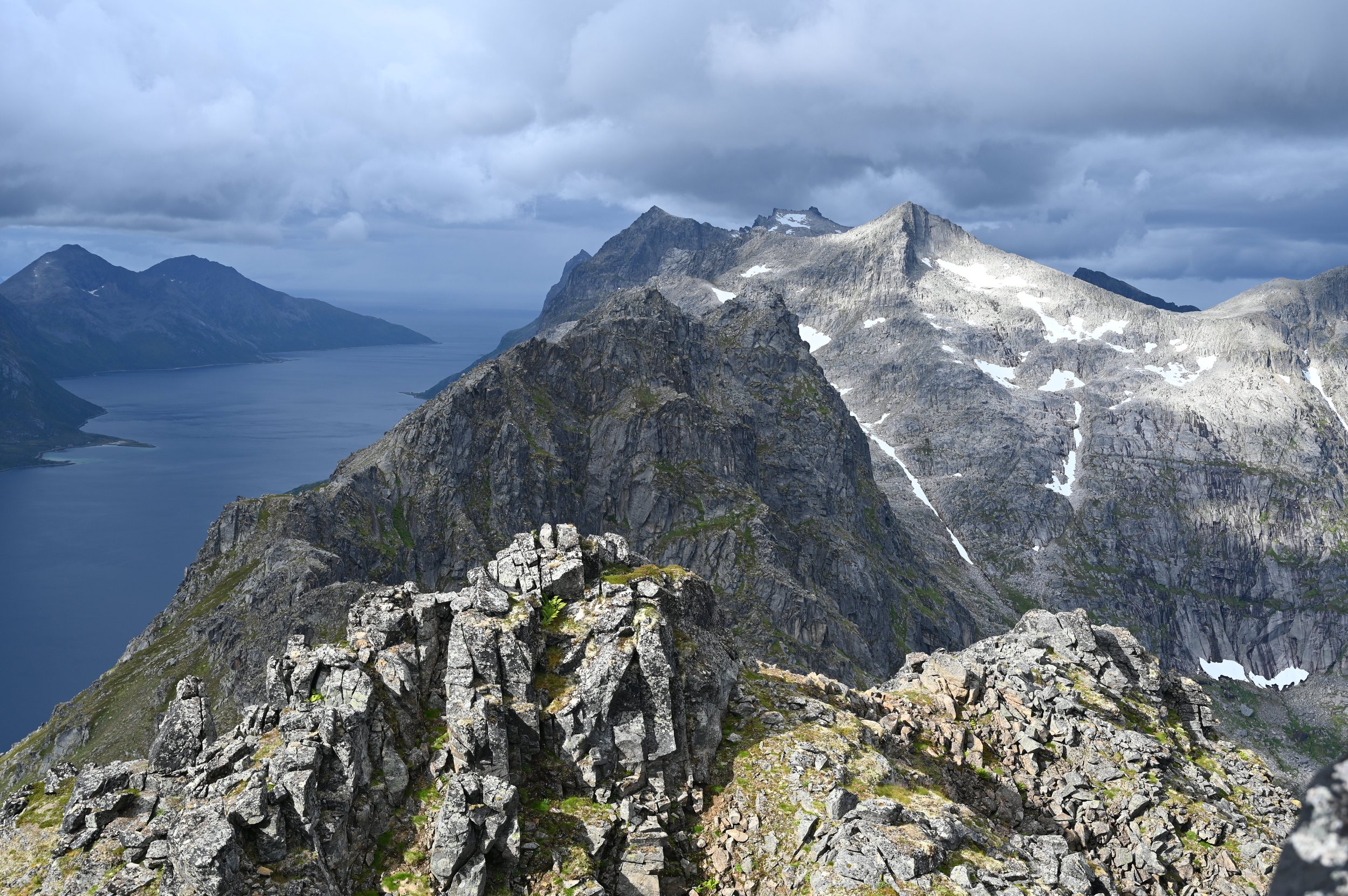
Hiking & Outdoor Adventures: Kvaløya is known for incredible hikes and mountain routes in all seasons.
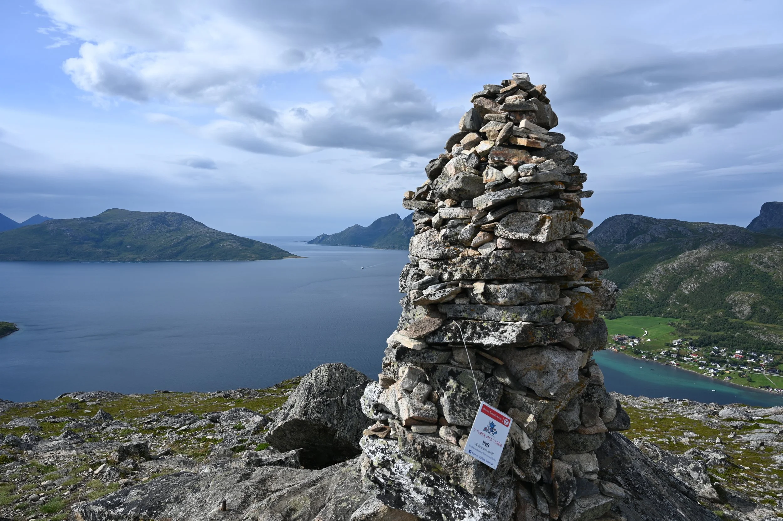
The cairn on the top of Trehørningen.
Villages & Nature Spots: Discover coastal villages like Ersfjordbotn, Straumsbukta, and Tromvika — ideal for photography, northern lights watching, and local charm.
Transport Tips: Local buses stop at Eidkjosen, but you’ll need regional buses from Prostneset to reach the villages. They run less frequently, so plan ahead.
Gateway to Hidden Gems: Kvaløya is also your route to Håkøya and Sommarøy, two must-see destinations for nature lovers.
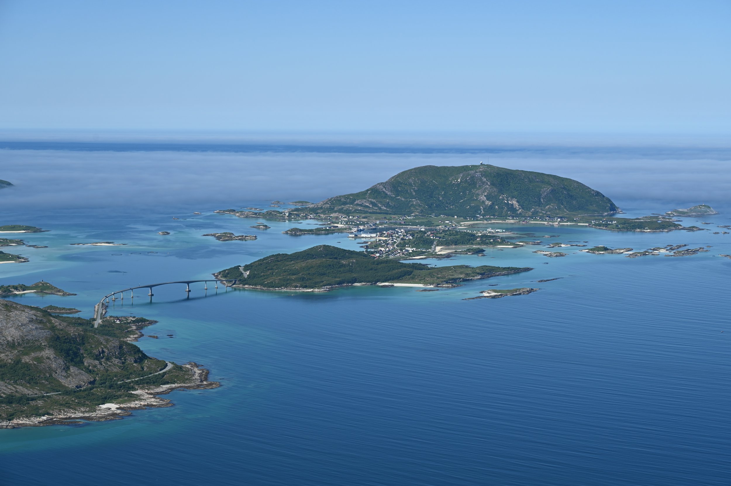
Sommarøy.
Håkøy nature trail.
📍 Local Travel Tip
To plan your public transport easily, download the Svipper app or check the latest Tromsø bus and ferry map here: Svipper Tromsø Route Map (PDF).
🌟 Final Thoughts: Master Tromsø Like a Local
Understanding Tromsø’s geography — from Tromsøya and Tromsdalen to Kvaløya and beyond — will make your trip so much easier. Whether you’re chasing the northern lights, hiking Arctic trails, exploring polar history, or just sipping coffee with a view, knowing where everything is helps you experience the city like a local.
👉 “Follow us on Instagram @heitromso_ for local tips, hidden gems, and Arctic inspiration before your trip!”
Welcome to Tromsø!